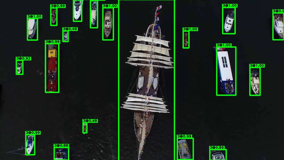
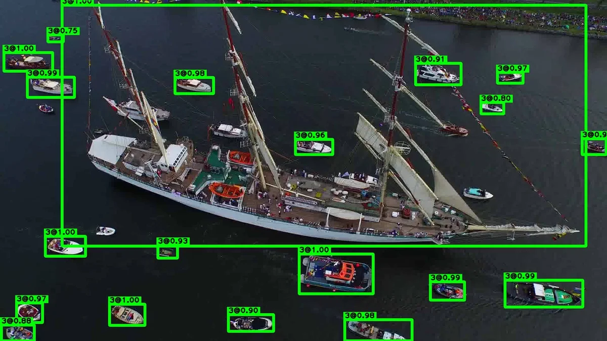
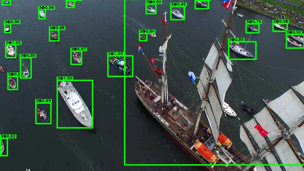
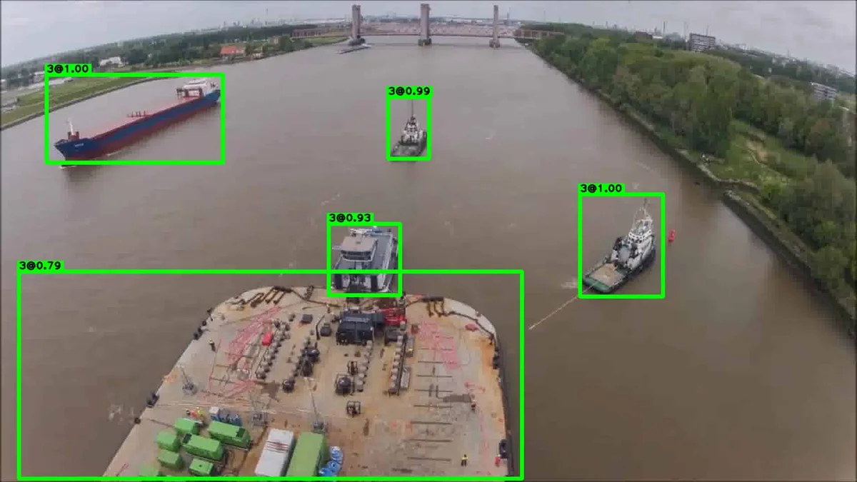
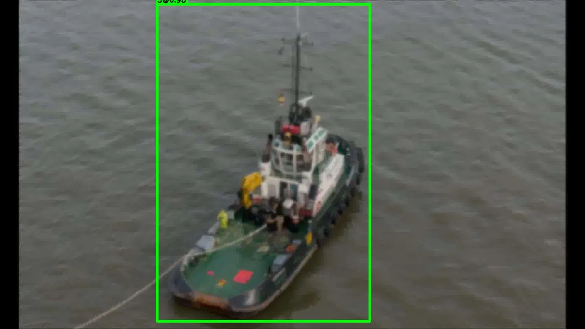
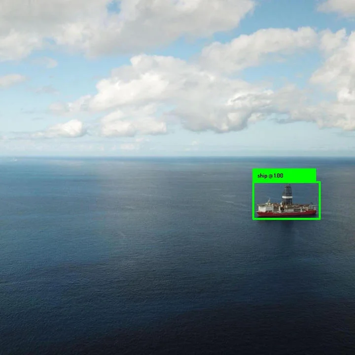
Aerial Ship Detector
Detects and localizes maritime objects from aerial angles. Includes tankers, cargo ships, fishing boats, etc. Separates buoys, debris, and airplanes.
Specifications
Performance
Optimized for edge performance with a low power profile.
Range
Up to 2000 meters.
Conditions
Dawn to dusk and Douglas Sea States 0 to 7.
Environment
Environmentally-agnostic performance.
Functionality
Detection.
Classes
Classifies buoys, debris, and airplanes as separate events.
Use cases
Detect and track maritime vessels from aerial perspectives.
Alternative data
Use the Aerial Ship Detector to track and identify maritime vessels at sea. Use this data for traffic, financial, and environmental purposes. This algorithm uses synthetic technology to distinguish vessels from debris, buoys, and other objects.
Marine traffic
Marine traffic analytics for port and shipping operators. The Aerial Ship Detector enables real-time monitoring of maritime vessels to improve efficiency and safety in busy shipping lanes and port areas.
Maritime security
Enhance maritime security operations by detecting and tracking vessels from aerial surveillance platforms. The algorithm can identify potential threats and unauthorized vessels in protected waters.