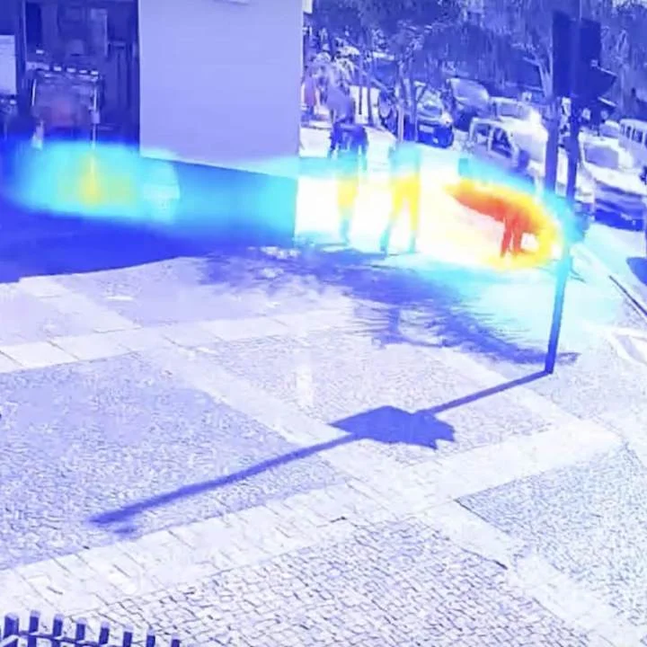
Social Distancing Mapping
Social Distancing Mapping builds heat maps of human traffic for COVID-19 analysis and optimization. Works in busy areas, preserves individual privacy and is GDPR-compliant.
Specifications
Performance
Optimized for edge performance with a low power profile.
Perspective
Ground-to-ground.
Conditions
Dawn to dusk and artificial lighting.
Environment
Environmentally-agnostic performance.
Functionality
Detection.
Sensor Modality
Visible light.
Use cases
Analyze social distancing effectiveness while retaining privacy.
Workplace compliance
This algorithm is a quickly deployed component of health compliance measures. Ensure a quick setup with our solutions team so you can get back to work.
Public spaces
Ensure peace of mind in public spaces and events with less resources. CVEDIA models help you surpass the data collection and training phases of your project, so that you can get to market quicker.
Airports and subway stations
Ensure the correct flow of traffic through busy airport terminals, junctions, and train stations for your transit and transportation system.